|
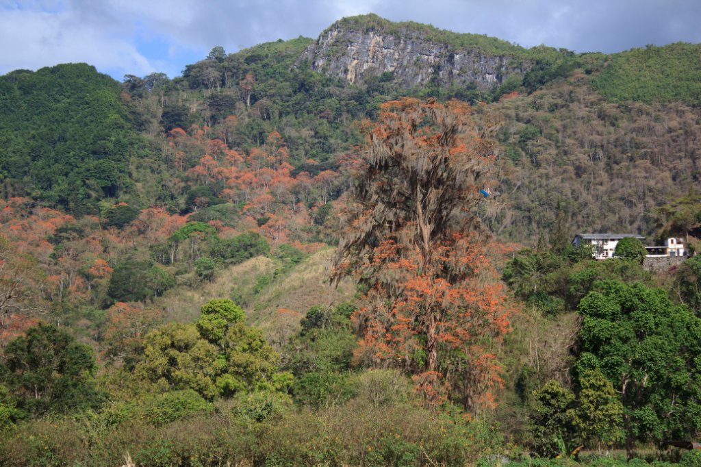 |
| Flowering trees | |
| Latitude: N 10°9'56,78" | Longitude: W 63°31'4,13" | Altitude: 889 metres | Location: Amanita | City: Caripe | State/Province: Estado Monagas | Country: Venezuela | Copyright: Ron Harkink | See map | |
| Total images: 11 | Help | |
|
|
|
| Flowering trees | |
| Latitude: N 10°9'56,78" | Longitude: W 63°31'4,13" | Altitude: 889 metres | Location: Amanita | City: Caripe | State/Province: Estado Monagas | Country: Venezuela | Copyright: Ron Harkink | See map | |
| Total images: 11 | Help | |